The Algorithmic Apparatus of Neocolonialism: Counter-Operational Practices and The Future of Aerial Surveillance

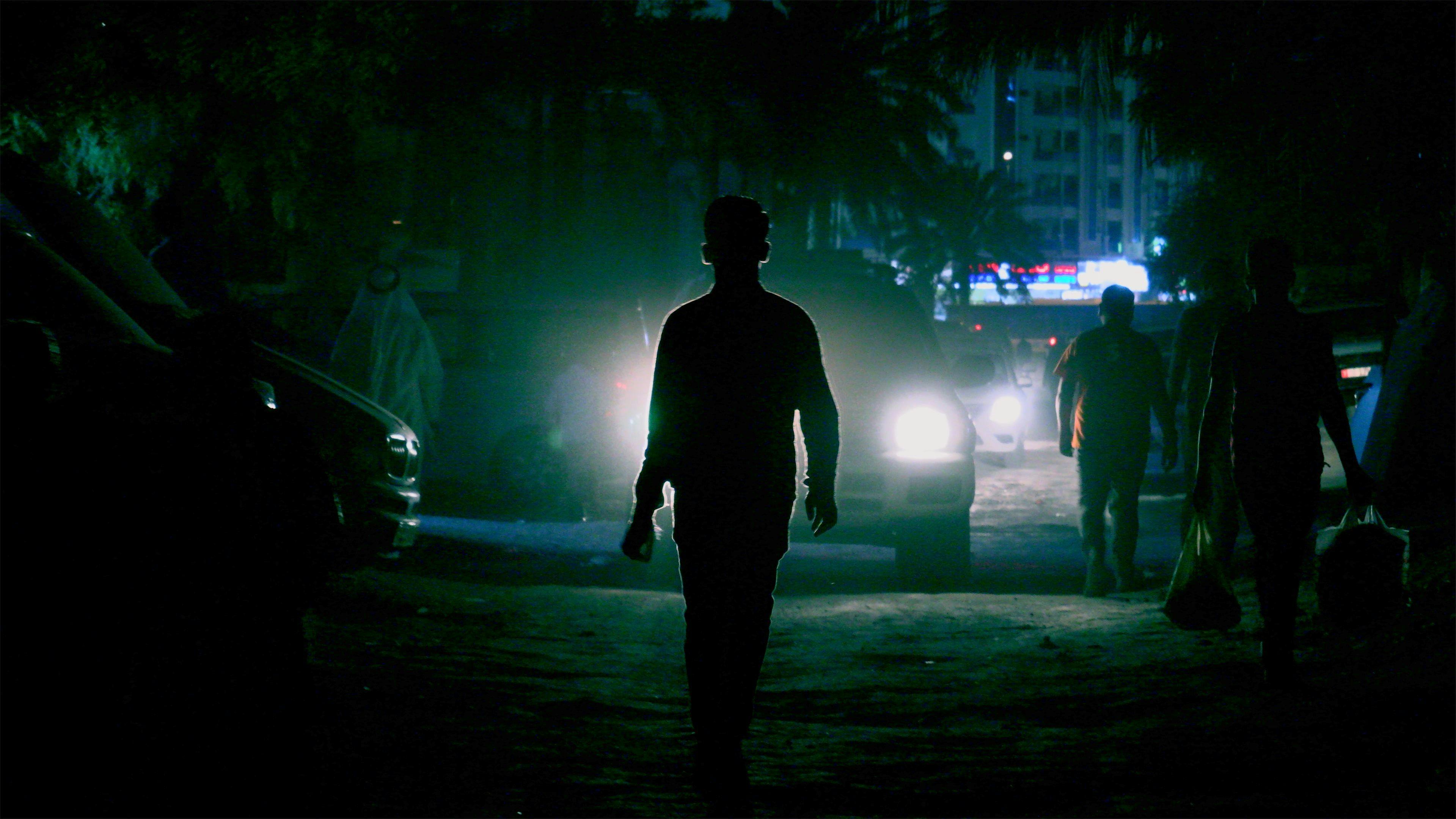
Shona Illingworth, Lesions in the Landscape, 2015. Three-channel video and multi-channel sound installation, 35 min. Courtesy the artist. Installation view: Topologies of Air, The Power Plant, 2022. Photo: Toni Hafkenscheid
“Human beings must learn anew to recognize the pattern of the earth from the perspective of the air.”
Harun Farocki, Images of the World and the Inscription of War, 1988
I
What forms of aerial threat do communities across the globe endure today, and how do they differ from previous levels of exposure? If we consider the apparently unstoppable ascendancy of drone reconnaissance and satellite surveillance, then it is evident that we are undergoing an epoch-defining evolution in the deployment of aerial technologies. The multiple concerns raised by civilian, civil rights, humanitarian, and military agencies in relation to autonomous systems of warfare would suggest that such operations have likewise realigned the relationship between the material (physical, environmental, legal) and immaterial (psychological, ethical, and existential) impact of these technologies. In conjunction with the enhancements afforded by Artificial Intelligence (AI), algorithms, and machine learning, autonomous systems of surveillance and warfare also engender less immediately visible forms of trauma. Ranging as they do from psychological trauma to the toxic contamination of habitats, not to mention the chronic threat associated with unexploded ordnance, the concern here becomes not so much whether consequences of these technologies have changed over time, but how we critically engage with the immaterial and nonphysical repercussions of such systems.
To these already imminent concerns, we could go further and observe that the technologies that commandeer and exploit airspace are not only detrimental to those who are subject to their ubiquitous apparatuses, the logistics of their deployment are also prosecuted through narrow national preoccupations of states who are party to developing the legislation that governs their use. Given the relatively inaccessible and occluded disposition of AI systems, the continued levels of secrecy and defensive concealment raise further questions: How, for one, do we conceptualize the threat associated with both the opacity of “black-box” systems and the all-too-real impact of air-bound technologies that, to a large extent, remain beyond the purview and control of the vast majority of the world’s population? All of which begs another, admittedly more capacious, question: How do we effectively engage with these largely classified, offthe-record, clandestine processes? We might, thereafter, want to probe further and inquire into whether the moment of visualizing these activities effects a form of engagement that can reconceptualize the military-industrial-corporate entanglements of airspace and, in so doing, productively hold such technologies to account. Can the mise-en-abyme of blackbox-like technologies be negotiated with or, indeed, modulated by methods of envisioning their operative logic—and, if so, how might this be achieved?
It is with these questions in mind, amongst others, that Shona Illingworth’s practice methodically pursues— through interdisciplinary partnerships and research networks—a series of investigations that coalesce around two interlinked projects: the three-screen video and sound installation Topologies of Air (2021) and the Airspace Tribunal (2018–ongoing), the latter being a series of in-progress “people’s tribunals.” Operating as a mutually supportive visual platform and legislative forum for exploring how air-bound technologies adversely affect communities, both projects prompt an expanded horizon upon which to understand the complexities—political, legal, historical, and cultural—of visualizing air- and outer-space. These strategic approaches to the question of air- and outer-space evoke pressing existential concerns that include, but are not limited to, the weaponization of non-terrestrial environments, climate change, environmental destruction, biodiversity loss, ontological insecurity, nuclear threat, and the corrosive forms of disparity that define the global landscapes of political power and corporate proprietorship.
To observe as much is to note that the research-based activities that we associate with practices from within the field of contemporary visual arts— including Illingworth’s and others— have historically inquired into the technologies of image production, reception, and dissemination. In their use of speculative, qualitative forms of visual inquiry, we may want to examine how such practices produce quantitative or evidentiary methods for understanding the impact of these technologies on life patterns and the lives lived in their shadow. Can, we need to ask, the interpretive and heuristic context of art practice, operating as it does from within the methodological framework of visual cultures, identify and distinguish the ramifications of satellite surveillance and drone reconnaissance on the realities of life and, increasingly, death?
In what follows, I will propose that any answer to this question, however approximate it may be, needs to consider the sinuous, utilitarian, extractive technologies of colonization and, successively, the neocolonial annexation of present-day and future realities. It is there that we can register and critically evaluate the degree to which the history of drone reconnaissance and satellite surveillance is irrefutably imbricated within colonial practices, nowhere more so than when we consider the latter’s reductive determinations of life and death and the callous calculations that inform the neocolonial will to actuate ascendant forms of biopolitical control.
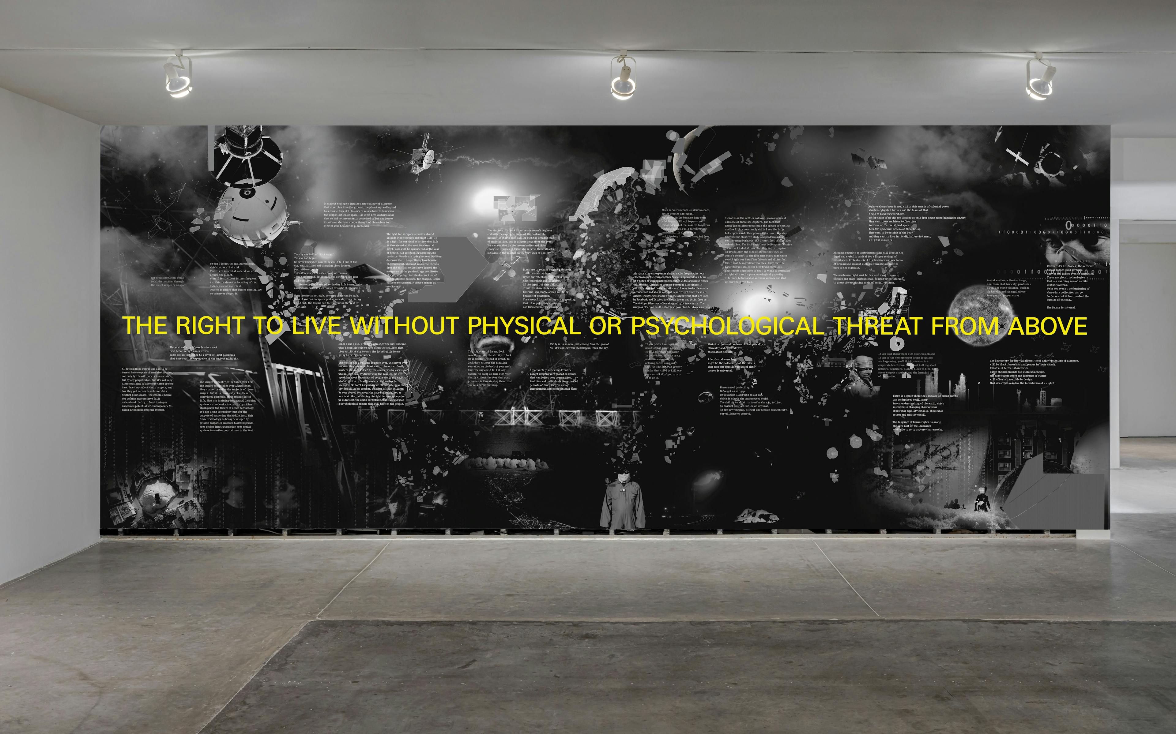
Shona Illingworth, Airspace Rights, 2022. HPV-free wallpaper, 304.8 x 731.5 cm. Courtesy the artist. Installation view: Topologies of Air, The Power Plant, 2022. Photo: Toni Hafkenscheid
II
Activities from the realm of extraterrestrial space not only map but also strive to predict future terrestrial movement, be it of troops, weather patterns, urban development, or population flows. Drone- and satellite-based forms of surveillance, powered by the predictive function of algorithms, seek to determine inextricably convoluted patterns of force and counterforce. To fully understand this ecosystem, and to deconstruct its amalgamations, we need to think from within these integrated exercises of command and power rather than merely commenting upon them—how exactly do they operate and relate to one another? In certain key images, some of which recur throughout Topologies of Air, we are invited to consider a drone view of the world below, from verdant rainforests to postindustrial landscapes. In one section, we vertiginously descend into a Dilmun burial mound in Bahrain from hundreds of feet above, our infernal descent sentried by images of environmental devastation. This is not merely the act of representing the innards of an extended necropolis, alongside images of despoliation; it is also an invitation to occupy a privileged viewing position that draws attention to how power operates vertically in our age of perpetual surveillance and indefatigable scrutiny. To be afforded this view is to become an appurtenance or supplement to the power wielded. Involved as we are in the so-called bird's-eye or god-like view, we are entangled within the paraphernalia of the scopic regime associated with aerial technologies and the imperial ambition of the god-like, disembodied gaze.
Such consideration moves us away from formal questions—how do we represent aerial activities that are often designed to evade detection?—to concerns about agency: What positions can we adopt and adapt in relation to the activity of aerial surveillance? To raise these reservations is to more fully consider the overarching operational logic of the apparatuses that produce present-day realities—be they cartographic, photographic, or digital— and how they found their organizational structures and conceptual footing in racially deterministic colonial discourses that strove to “fix” the other as an objectified, calculable entity. This other, which was often seen to possess the ontic, quantifiable character of the real, rather than inhabiting a phenomenal existence (that is, living a form of life that was commensurate with Westerncentric definitions of humanness), was rarely viewed as an ontological subject capable of being in the world. This calculable, measurable, knowable other is, as we will see, foundational to the historical shift that we associate with the reinscription of the “imaginative command” of colonial discourse into the algorithmic calculations that we now associate with the mechanisms and contrivances of neocolonization.
When we consider our responsiveness to and responsibility for interpreting activities that are intentionally rendered distant—often by virtue of literal remoteness—and opaque by the “black-box” logic of computational decision-making processes, the demand for legibility becomes a political act in itself; one that prefaces, or at least frames, an injunction toward further formal inquiries. What are the implications of exerting command, be it imaginative or algorithmic, over a people or terrain? Often used to describe the operational logic of drone and satellite surveillance technologies, the phraseology surrounding so-called “black-box” systems would appear to repudiate precisely such a question, or at least discourage or suppress scrutiny of its operative logic. When we consider the degree to which the programmatic processes associated with AI and algorithms exclude, if not prohibit, human input and cognitive interpretation, we find further evidence of a series of recursive and occluded procedures over which we have no means to exercise effective oversight, be it legal or otherwise.
This indecipherability is central to the functioning of drones and satellite systems, which often operate in an autonomous or semiautonomous continuum. It is this secured functioning that has increasingly produced a conspicuous level of individual and collective detachment, whereby the stimulus of human decisionmaking in the operating procedures of autonomous weapons systems is, at best, moot and, more often than not, relegated to the role of either pre-programming or calibrating systems over which operators have less and less competency. As a result, we would appear to be witnessing a widespread moral, social, political, and cultural renunciation of responsibility when it comes to the fatal use of aerial surveillance and targeting. This specific point has been addressed by Illingworth and Andrew Hoskins in their jointly authored essay, “Inaccessible War: Media, Memory, Trauma and the Blueprint,” published in 2020. Proposing that the “comparatively silent revolution in military and militarized data and AI” submits civilian populations to newer, emerging forms of trauma, the authors focus on the psychological and neuropsychological impact of unrelenting surveillance. Trauma, they argue, has shifted “from a memory of the past to include a perpetual anticipation of the threat of the future, subjecting increasing numbers of people to unending physical and psychological incarceration in a traumatizing present.”
The potential of practice-based research, such as Illingworth’s, lies precisely in its ability to provide discursive and visual methods—for legal and scholarly frames of reference—to detail the changing nature of the psychological impact of such technologies. It is through the interdisciplinary approaches that are applied to the visualization and conceptualization of airspace, in both Topologies of Air and the Airspace Tribunal, that we see how evidentiary practices (in the context of the visual) and legal debates (that is to say, the realm of legislation) can produce a critical dialogue about the epistemological “value” attached to the data harvested by surveillance systems and, thereafter, applied to predict, if not predetermine, future patterns of life and death.
How “evidence” is understood and verified in a court of law, or considered within legal processes such as those governing the use of weapons, becomes a further issue of concern here. By inquiring into how data (information) is given an epistemological value through systems that remain largely withdrawn from legal oversight, Illingworth’s installation and tribunal-based platform make transparent an operational logic that has long been structured around opaque processes. In focusing interdisciplinary activities and legal testimony on a formal, fact-based presentation of evidence and peerreviewed research, Illingworth sets about detailing the substance of the present-day and future-oriented threat that communities and individuals experience from airspace. To this end, Topologies of Air and the Airspace Tribunal jointly propose a structured case for pursuing new legislation from within an understanding of human rights as a “living instrument” and through an expanded notion of what we mean when we refer to air- and outer-space. Practicebased research, in sum, both aggregates and proposes a formal methodological approach toward the promulgation of a new human right in the face of unaccountable forms of “black-box” technology.
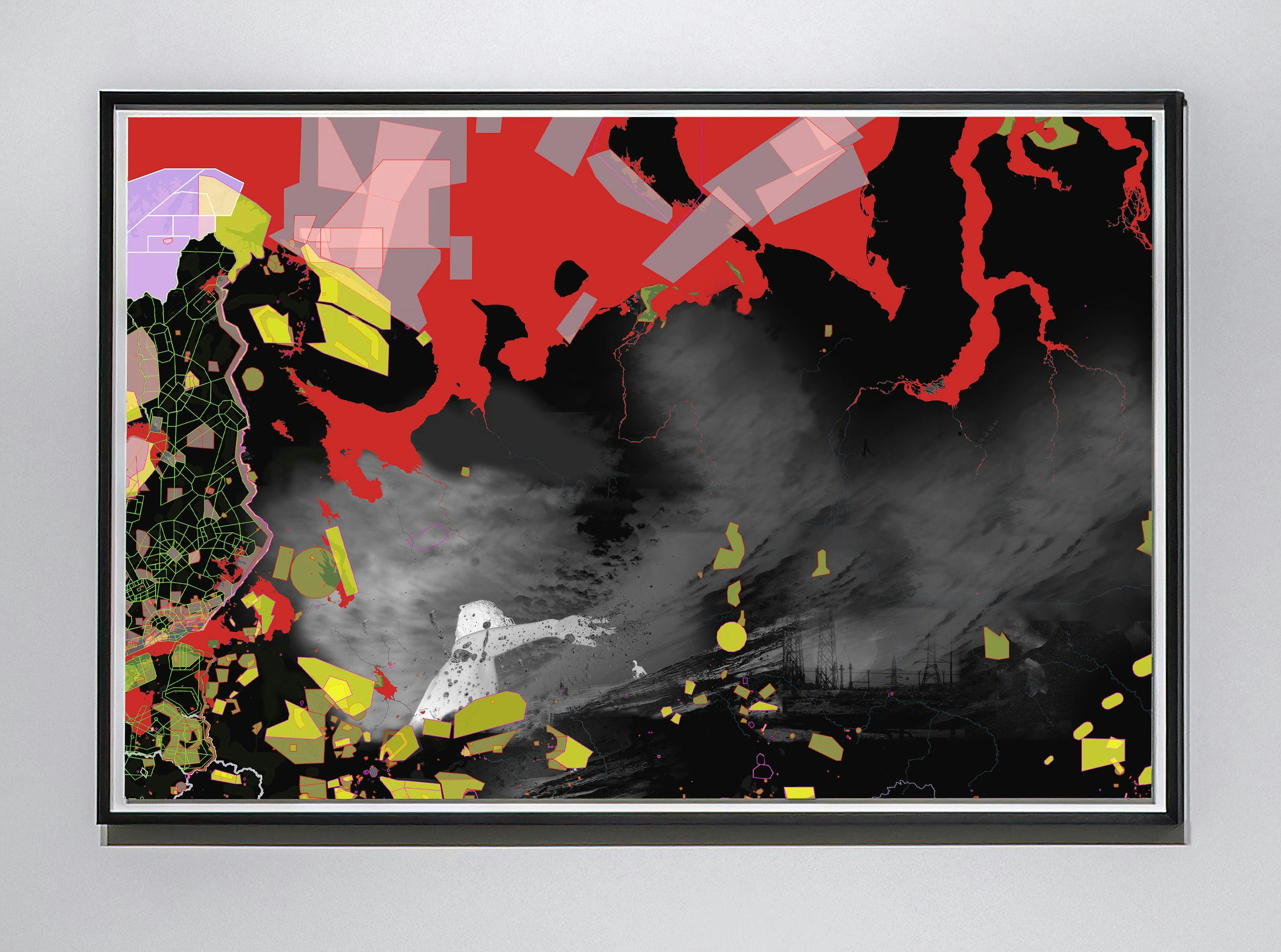
Shona Illingworth, Restricted Airspace #7, 2021, Photo by Toni Hafkenscheid
III
The algorithmic rationalization of data harvesting and storage remains a contingent process whereby we can witness an “input” and an “output” and yet remain unaware of the internal machinations by which “raw” data becomes material evidence of, for example, nefarious activities or wrong-doing. This structure needs to be declared tangible if we are to critically address its systematic application to, for example, a zone of conflict. We need, in sum, to think from within the occluded interiors of these operations. As part of this process, we could begin by questioning the very idea of “raw” data—in its capacity as “input”—and observe that any decision, algorithmic or otherwise, to harvest or extract information presupposes a highly defined (ideological, political, national, monetary, and strategic) prior interest in the epistemological value of such information.
The future of war, that is to observe, has been categorically programmed into algorithms. The supposed epistemological opacity of algorithmic operations, cultivated by military-industrial and commercial interests, strategically disavows this fact alongside the extent to which such systems are demonstrably produced from within societal orders. Trained on patterns of data harvested from online user behavior, algorithms are essentially social constructs powered by Big Data. Given the foundational, if not collective, nature of their constitution, there is an urgent need to deconstruct the “black-box” rhetoric that surrounds these apparatuses. A crucial element here, in relation to terrestrial and extraterrestrial “blackbox” surveillance systems (the realms that form the conceptual keystones for both Topologies of Air and the Airspace Tribunal), is how we can make direct connections between the extraction of data—through, for example, surveillance technologies—and its alignment with the national, military, and commercial interests of Western nations and others such as China and Russia.
These questions are further convoluted if we consider how sovereign (national) and military-industrial interests are entangled with those of privately owned companies that were originally endorsed by venture capital models of investment. In this scenario, private money demands, at the behest of shareholders, ever more perilous means of extracting—through remote technologies such as drones— information that refines and trains the targeting systems of military weapons and the proprietary concerns of privately owned companies. As a direct result of this secretive, difficult-to-access, recalcitrant regime of data extraction and application, communities and individuals on the receiving end of such technologies live in states of hyperalertness, always on the lookout—or, more likely, given the remoteness of such technologies, listening out— for an imminent assault or an act of irrevocable violence.
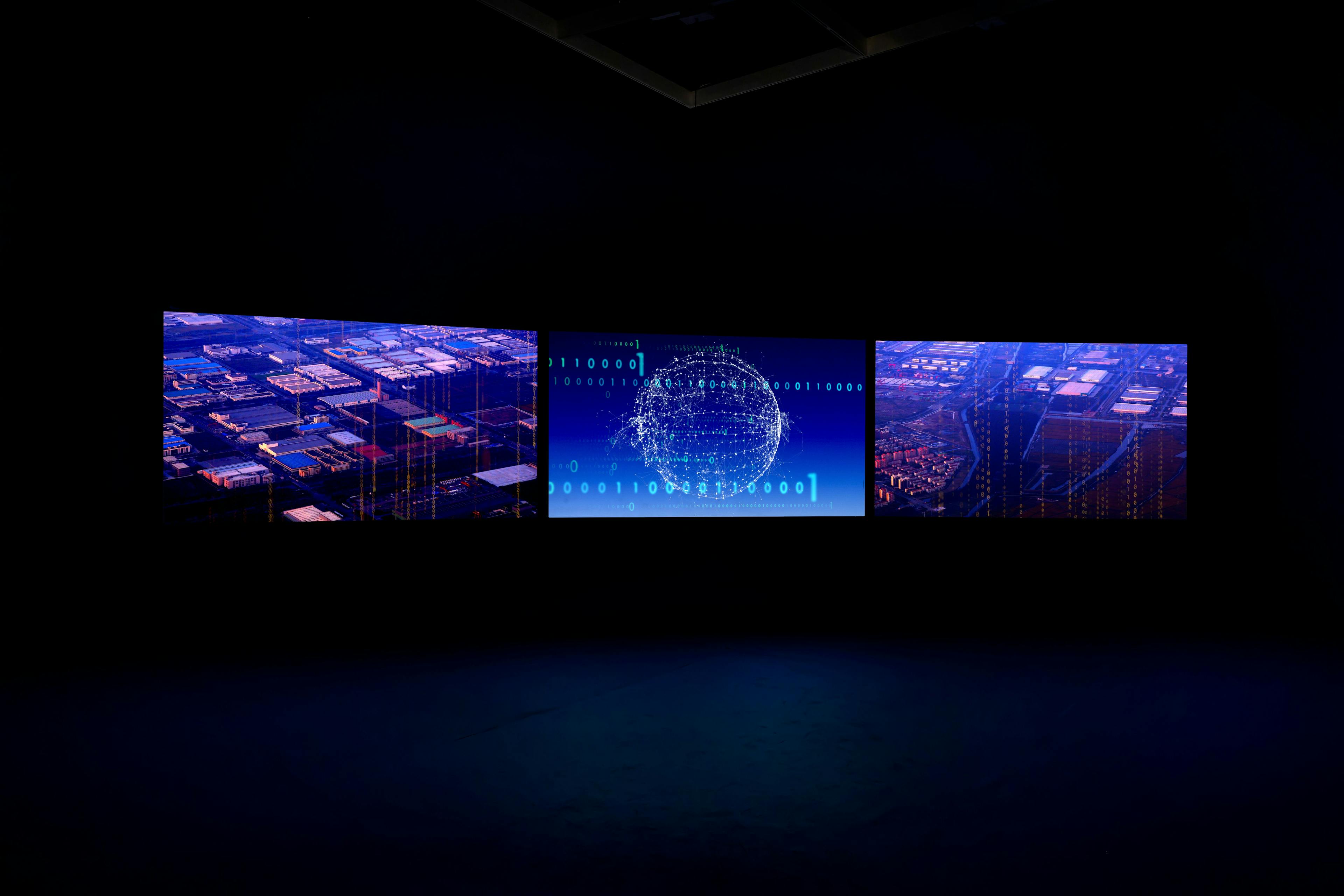
Shona Illingworth, Topologies of Air, 2021. Three-channel digital video and multichannel sound installation, 45 min. Courtesy the artist. Installation view: Topologies of Air, The Power Plant, 2022. Photo: Toni Hafkenscheid
IV
From the early stages of Topologies of Air, there is an explicit focus on nonWestern geographies that are, for the most part, the object of a Westerncentric optical regime—based on the selective concentration and application of knowledge—that has been effectively resuscitated by the (neo)colonial operations of drone reconnaissance and satellite technologies. In one telling image, depicting a satellite surveying a tract of the Arabian Peninsula, Iran, and the Horn of Africa, we see a panorama of a region—the so-called “Middle East”— that has long been subject to increasingly complex systems of surveillance.14 These aerial shots of a satellite graphically reproduce an encounter that suggests, as noted above, a distinctly vertical relationship between the viewing (sovereign) subject and the perceived (targeted) object. It is with these and other points in mind that Topologies of Air plots the operational modifications and technical variations of the one-time imperial and now neo-imperial ambition to maintain an “imaginative command” over its self-appointed dominions.
In an observation by Edward Said, writing in 1995, the degree to which geography is always already “the art of war” neatly sums up a historical fact: cartographic mapping, in imperial and colonial contexts, was both a predictive activity (foreshadowing as it did the region in question) and a prioritized means of substantiating (in the establishment of so-called boundaries) and maintaining dominance and control. Surveillance and remote forms of mapping, which remained impenetrable to those who were subject to their sphere of influence and applied forms of power, were evident in the first triangulation-based map of Egypt, Syria, and Palestine. Published between 1809 and 1829, and comprised of 885 plates, a three-sheet geographic map, and a forty-seven-sheet topographic map of Egypt, the latter triangulation-based maps were produced by Napoleon as part of his monumental Description de l’Égypte. These maps were to become the basis for further cartographic surveys throughout the nineteenth century and, in testament to their enduring use and application, were only superseded by photographs produced by cameras mounted to airplanes during World War I.
The photographic images taken from aerial perspectives were, to begin with at least, concerned with the professed purpose of mapping archaeological sites, antiquities, and monuments (a historical fact noted throughout Topologies of Air), with hundreds of thousands of aerial photographs produced under the pretext of “preservation.” In the intermediate decade or so of this timeline, encompassing as it does triangulated mapping in the late eighteenth century and the development of aerial photographs in the early part of the twentieth century, another innovation was to have a profound impact upon these remote technologies of erasure and legibility—namely, the invention of photogrammetry by the Prussian architect Albrecht Meydenbauer.
First coined by Meydenbauer in 1867, the concept of photogrammetry was simple enough: rather than measure a building by “hand” and in close personal proximity to it (an activity that often courted peril), measurements could be taken directly from multiple photographs of the same building taken from different angles. These indirect, remote forms of measuring from a distance introduced an automated model of vision that displaced, or separated, the human eye from the object under consideration and, thereafter, replaced it with an activity that takes place from within the virtual, codified space of a photograph rather than in direct relation to an actual object or building under consideration. This apparent simplicity of method was to have lasting connotations when we consider how, through aerial photography in particular, photogrammetry promoted a process of disembodied, automated sight that usurped accepted ontologies of envisioning realities.
The move toward the automation of sight and the ensuing questioning of its role in producing realities, evident in the 1798 topographical surveys of Egypt, Syria, and Palestine, can be seen in how the maps in question were projected from ground positions to produce aerial overviews. This would suggest, prima facie, that the disincarnated, projected gaze was promoted from within the technology of mapping. And central to these technologies, we find the instrumentalizing gaze of the cartographer, the all-seeing eye who commands an ethereal view of the terrain below (from a projected vantage point) and reproduces it through the determinants, or data points, we associate with the mapping (numeric and symbolic fixing) of people and places.
Returning to our earlier discussion of implied epistemological value, this emphasis on the “instrumentality of knowledge” has been noted by Anne Godlewska, who, writing of Napoleon’s cartographic ambitions, observed “how cartography as mapping assigns a position to all places and objects. That position can be expressed numerically.” Continuing this critique of the computational logic underwriting cartographic practice, Godlewska further proposes: “Maps allowed a coordination and concentration of intrusion that was relatively covert, thanks to the inherently elite and secretive nature of the cartography of this period and to the centralized coordination that maps permitted and perhaps encourage. It was, then, an extremely effective instrument of imperialism, and powerful consonance with the ideals of the Enlightenment.” The Cartesian calibration of space through the human eye, the extraction of information based on the fixed position of the subject in relation to an object, not only anticipates technologies of automated measuring—photogrammetry, for example—but also predicts the formal components of autonomous surveillance and weapons systems today. To the extent that this computational logic adumbrates the present-day ascendancy of autonomous drone-based surveillance systems, it leads us back to our earlier question: How do we think from within this operational logic rather than merely comment on it? To do so, we need to more fully consider how a photograph instrumentalizes or programs our sight from within the codified space of the photographic apparatus, as is the case with photogrammetry. This is to encourage a range of inquiry into the operational “how” rather than the conceptualized “what” of image production. It is to entertain a discussion of so-called “operational images”—images that are made by machines for machines—and how the technologies of our contemporary neocolonial image regime do not necessarily involve images that are visible to the human eye.
Referring to a term popularized by the filmmaker and theorist Harun Farocki, “operational images” are produced by machines for machines. These images, therefore, remain “unseen” by and inaccessible to the human eye. This presents us with an ontological dilemma: How do we, thereafter, conceptualize our responsibility for and responsiveness to images we cannot access nor perceive? If, thereafter, Bishop Berkeley’s adage— “Esse est percipi”; or, to be (esse) is to be perceived (percipi)—is to remain apt in our post-digital age, then we must ask a further question: What forms of being, sovereign or otherwise, are brought forth into our contemporary world if the act of “perception,” if not the formal actualization of humanness (being), is performed by a machine? If we accept that established ontological frames of reference—which have, to date, substantiated human rights legislation and international laws—are being surreptitiously usurped by statements of autonomously calculated fact, then the over-arching challenge here becomes one of how we can, if at all, productively interject—legally, philosophically, creatively, and politically—into the contemporary rationalizations of life and death brought about by the affordances of drone and surveillance technologies.
Photogrammetry, like cartography before it, expressed the world numerically and at one remove from the actual; however, this move toward the industrialization of automated image production, through remote technologies, necessitates the production of an industrial, mechanized, and programmable means to survey and interpret images. For Farocki, the “operational image” answers to this demand through superseding the function of the human eye. Insofar as they are part of a machine-based operative logic, images made by machines for machines are effectively void of an aesthetic context—they do not, as Farocki proposes in Eye/Machine I, II, III (2000–3), “portray a process but are themselves part of a process.” This practical functioning means that images are not only voided of social or aesthetic intent, they also anticipate the formal obsolescence of the human eye. Structurally defined by the operation in question, “operational images” are not propaganda (they do not try to convince), nor do they instruct (they are not interested in directing our attention), nor are they content-based (they exist as abstract binary data coding, rather than pictograms). Given that they are part of an operation, any manifestation of the image through the disincarnated modus operandi of “operational images” is, therefore, merely an anachronistic concession to the human eye.
If “operational images” are wholly disinterested in human input, apart from initial programming and our occasional calibration of their operational apparatus, then our agency in these forms of image production and their impact (consider how drones use algorithmically trained operational images to target and eliminate subjects) remain circumstantial at best. Computers, whether engaged in cartographic processes or the targeting of “combatants,” do not use images, nor do “operational images” function in this sense. Arguably, the contemporary image of conflict is indeed a compromise of sorts, an anthropological sop produced by machines to make us feel more comfortable and familiar with the operational logic and real-world impact of “vision machines.” Have we, as a result, disavowed our responsibility for such calculations precisely on the grounds that the affordances of aerial surveillance and drone warfare profoundly distance us—physically, psychologically, and psychically—and in that process attempt to circumvent political and legal oversight? And, if so, how can we deploy creative practices and their interdisciplinary processes to critically address the fatal global interlocking of surveillance technologies, territorial plotting, imperialist expansionism, and drone warfare? These questions are, needless to say, the explicit domain of human rights legislation (as noted throughout the Airspace Tribunal), but they also raise a series of concerns about how we determine the epistemological value and agency, not to mention epistemic violence, of “operational images”—the very same “immaterial,” digital images that can impact everyday realities with often devastating, if not deadly, results.

Shona Illingworth, Restricted Airspace #7, 2021, Photo by Toni Hafkenscheid
V
I earlier quoted Said’s assertion that geography is “the art of war”; it might be, therefore, incumbent upon me to continue his thoughts on the matter and draw attention to the fact that he also proposed that geography can be the “art of resistance if there is a counter-map and a counterstrategy.” This recalibrates our original question from an inquiry into what forms of trauma and imminent aerial threat communities across the globe endure today, to what counterstrategies are available to us in order to address this state of affairs. On one level, this is, dare I say, relatively straightforward: in drawing attention to the ideological, national, corporate, historical, and proprietorial intent inherent within the apparent objectivity of a map, we readily if not critically engage—through the form of Topologies of Air and the forum of the Airspace Tribunal—with its assumptions and framing of reality. To this, we must add a further, admittedly more speculative, question: Given that opaque systems tend to disavow critical analysis—by way of legal and political inquiry, for example— can we understand this design logic as a conscious byproduct of the neocolonial ambition to appropriate knowledge without having to necessarily account for the responsibilities involved in archiving, quantifying, and applying it to realworld environments?
In outlining the extent to which colonial discourse laid the groundwork for the development and application of the apparatus of global surveillance technologies and other forms of technical representation, we can go some way to observing what a counterstrategy could look like, albeit with a significant caveat: the logic of colonial discourse was developed in corporeal terms (it was the human, fleshy eye that viewed, dissected, and reproduced the discursive realities of the non-Western world through representation). Today, in our post-digital age, that eye has given way to the political economy of the remote machine eye and the recursive abstractions of “operational images.” This development necessarily reframes how we can interrogate the applications of surveillance technology and what form the development of fit-forpurpose legislative action would subsequently assume in the context of human rights. Can we, that is to ask, prosecute an autonomous weapons system? Working from within these implacable optical regimes, we might also want to ask whether we can frame a counterstrategy, or counteroperational-image, that would effect a transformation, legislative or otherwise, in the functioning of these systems?
To investigate the potential to formulate a legally binding international human right in relation to airspace (and, perhaps more crucially, who exactly would be protected by such a right), projects such as Topologies of Air and the Airspace Tribunal not only concentrate a range of activities and inquiries but also formally inquire into how we can effectively pose these questions and, momentously, through what means. How do we legislate for the production, dissemination, and reception of an epistemological apparatus—a system that produces knowledge and applies it— based on opaque “operational images” and a regime of “vision machines” that increasingly exist independent of human agency? How, that is to ask, do we witness the impact and effect of neocolonial technologies when they are deployed not only to target communities on the ground, so to speak, but also to elide any notion of a witness to both the execution and the event of violence?
If we recall here, finally, Aimé Césaire’s all-too-memorable phrase, “colonization = thingification,” we can pinpoint the inherent processes of dehumanization practiced by colonial powers and how this, in turn, produced the docile and productive—that is, monetized and commodifiable—body of the colonized as a means to extract further “value” in the name of “progress” (the latter being a barely coded term for Western interests). As befits his time, Césaire understood these processes primarily in terms of wealth extraction (raw materials) and the exploitation of physical, indentured labor: “My turn to state an equation: colonization =‘thingification.’ […] I am talking about societies drained of their essence, cultures trampled underfoot, institutions undermined, lands confiscated, religions smashed, magnificent artistic creations destroyed, extraordinary possibilities wiped out.”
Whereas colonization was, first and foremost, preoccupied with wealth and labor extraction through occupation, neo-colonization, while furthering such ambitions, is indelibly implicated within an apparatus of data extraction that seeks to establish and predetermine, if not occupy, the future. Both effect an epistemological and actual violence on communities and individuals, and both reveal the extractive technologies of imperialism. The line connecting the two involves the violence of knowledge and applied data. The exploitation of raw materials, labor, and people, effected through the violent proficiencies of Western power, was a process, as Césaire perspicaciously noted, of dehumanization that deferred, if not truncated, the quantum possibilities of future realities. And it is to those futures that the gaze of drones and satellite surveillance systems are being increasingly directed today. It is that gaze that will determine not only who occupies those horizons but also the ontological distinction between life and death.
PURCHASE FULL PUBLICATION